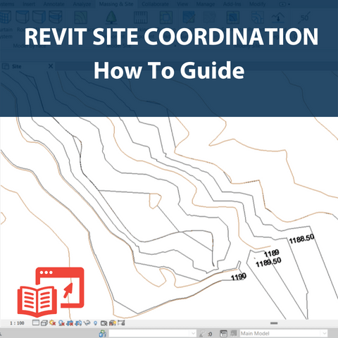
Site setup in Revit has always been an ongoing challenge within the Revit user community. The setup is not only about creating a toposurface on which to place your building, but rather to completely coordinate the site in order to attain accurate survey information from the file.
Within Revit, there are three methods by which we can create a coordinated site:
1) Link topography using a Civil 3D file
2) Create topography from import using a .dwg file
3) Create topography using a points file
We will look at the second method in which we obtain coordinate information and generate a topography using a .dwg file.


Reviews